
Menu

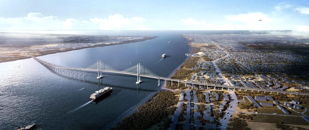
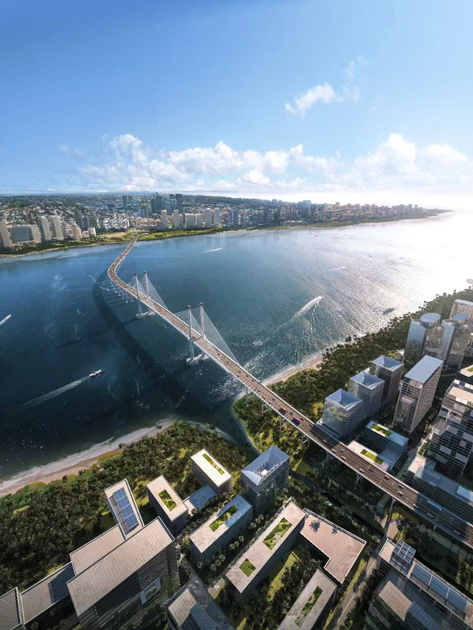

The New Demerara River Bridge will replace the outdated floating bridge dating back to the 1970s that connected the river banks at its mouth.
The new bridge was developed to improve transportation connectivity and efficiency in the Region, with a focus to environmental impact and integration with the urban fabric. This project will improve citizen mobility, fostering economic development and consolidating Georgetown as a key hub in Guyana's transportation network.
The new bridge will provide a safe connection between the two banks of the Demerara River, while allowing large cargo ships to navigate the river.
The new Demerara River Bridge represents a major investment in replacing the dated retractable structure. The goal is to overcome the limitations of the current structure, which is no longer able to support the ever-increasing traffic and long-term strategic needs, considering the bridge's importance as a main artery, the only connection between the residential neighbourhoods on the west bank and the city center, but also between Region 3 and Region 4. The new bridge is a wider and state-of-the-art infrastructure, ensuring the passage of large vessels, effectively handling vehicular traffic, improving connectivity and the country's economy.
The new infrastructure (NDRB) is located approximately 460 meters south of the existing bridge, with a total length of 2,798 meters. The project meets the AASHTO standards of Urban Principal Arterial. The most representative section will be an impressive suspended structure 570 meters long, divided into three spans: the central one 300 meters wide with clear span from the water surface of 50 meters, two side spans of 135 meters each.
The infrastructure will accommodate two driveway lanes and a cycle path, divided by travel direction, associated with an emergency lane. The two roadways and cycle lanes will be separated by safety barriers for the protection of all road users.
In the interest of navigational safety, a specially dredged navigable corridor with a width of 210 meters and a clear height of 50 meters measured considering the mean high tide level, sized for the passage of Handymax-class vessels, will be ensured.
The grandeur of the towers supporting the cable-stayed section will be the representative landmark of the city skyline: more than 120 meters high from the water surface, they will support the 136 stays from which the reinforced concrete box girders, that will make up the main section deck, will be suspended. The 62 viaduct piers of the approach to the main section rest on foundations made of 582 bored piles of varying diameters reaching a maximum of 2.5 meters. Work in the riverbed is carried out through the construction of two jetties connected to each bank and made of metal plates and lattice girders, which in turn rest on driven piles. A toll collection building on the west bank completes the work.




2026 POLITECNICA INGEGNERIA ED ARCHITETTURA SOCIETÀ COOPERATIVA ® | ISC. REG. IMPRESE DI MODENA - PI 00345720361